|
| *****SWAAG_ID***** | 26 |
| Date Entered | 09/01/2011 |
| Updated on | 26/12/2011 |
| Recorded by | Tim Laurie |
| Category | Burnt Mound |
| Record Type | Archaeology |
| Site Access | Private |
| Location | Stelling |
| Civil Parish | Marrick |
| Brit. National Grid | NZ 067 005 |
| Altitude | 308m and 305m |
| Geology | Springs in fluvio glacial valley marsh |
| Record Name | Marske CP. Stelling Springs above Dales Beck. Four Burnt Mounds. |
| Record Description | Three of the four burnt mounds at this location are at the spring rise or on the banks of the stream at NZ06670051, 308m centre in pasture immediately below (east of) the road to Hurst some 200m north of the junction with the Helwith Green Road. These three burnt mounds are medium to small in size. The lowest of this group of four burnt mounds,also of medium size is at NZ0678 0047, 305m in wet rushy pasture some 20m north of the Helwith Green Lane close to the canalised head stream of Dales Beck. This burnt mound is the lower of four burnt mounds at Stelling Springs.
These burnt mounds are 300m NE of an unenclosed round house settlement at Stelling Bottom. See Laurie 2011 Figures 6.17-6.21 for details of the settlement,cup and ring marked rocks and the coaxial field system.
Indicative burnt mound dimensions.
Size: Small <6m, Medium 6m-9m, Large 10m-15m, Extra large >15m.
Height: Low <0.5m, Average 0.5-1.0m, High >1.0m.
NZ067 005 centre, three sites. NZ068005, one site |
| Dimensions | Medium, average |
| Additional Notes | These burnt mounds are within an area rich in evidence for early settlements, see Laurie 2011,and specially Figures 6.17-6.22. |
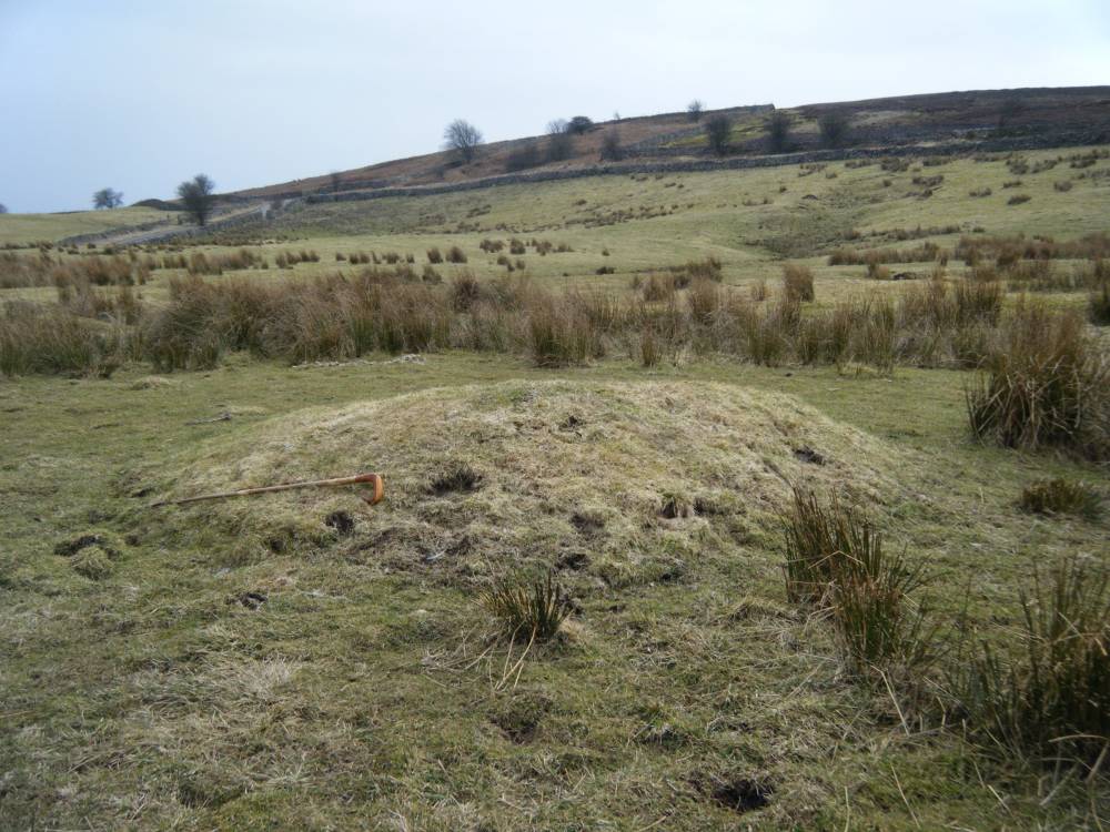
| Image 1 ID | 1799 Click image to enlarge |
| Image 1 Description | Small burnt mound at Stelling Springs. The lowest of three. |  |
| Image 2 ID | 1800 Click image to enlarge |
| Image 2 Description | Small burnt mound at Stelling Springs. The lowest of three, View towards Stelling Road. | 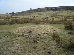 |
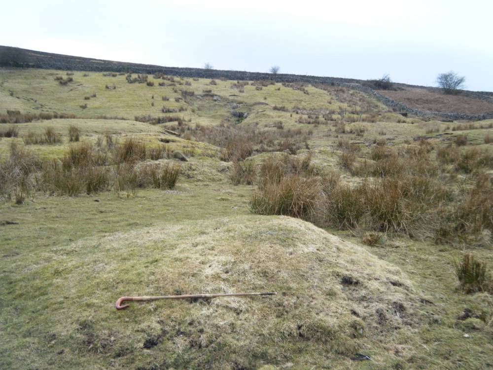
| Image 3 ID | 1801 Click image to enlarge |
| Image 3 Description | Small burnt mound at Stelling Springs, view towards spring rise with two further sites. | 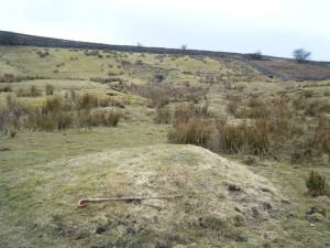 |
| Image 4 ID | 1802 Click image to enlarge |
| Image 4 Description | The middle of three Sites here. | 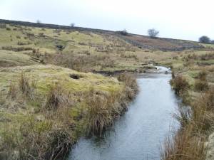 |
| Image 5 ID | 1803 Click image to enlarge |
| Image 5 Description | The middle of three sites here. | 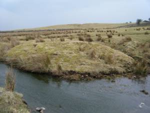 |
| Image 6 ID | 1805 Click image to enlarge |
| Image 6 Description | The middle of three sites here. | 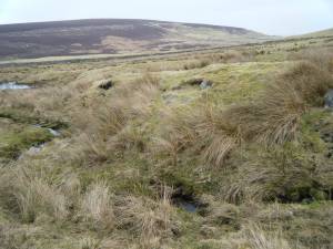 |
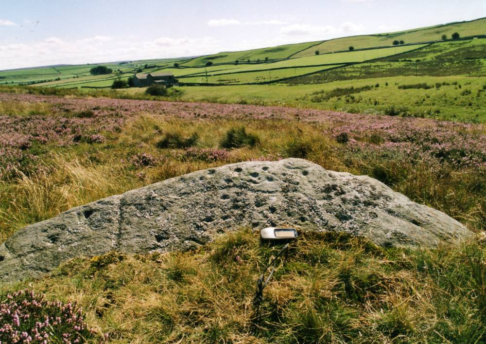
| Image 7 ID | 314 Click image to enlarge |
| Image 7 Description | Cup and ring marked rock at Forty Acres. Dales Beck. CR SE0714500344 TCL0523 |  |